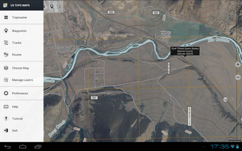
Canada Topo Maps: The Best Navigation App for Outdoor Activities
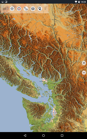
Canada Topo Maps is an exceptional outdoor navigation app that offers the topographic maps of Canada, making it the perfect tool for hiking, biking, camping, climbing, riding, skiing, canoeing, or off-road 4WD tours. The app is developed by ATLOGIS Geoinformatics GmbH Co. KG and is available for free on Android.
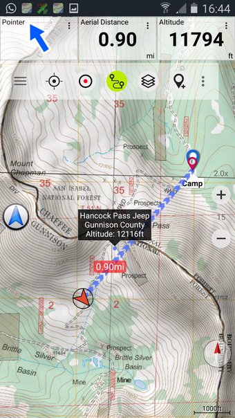
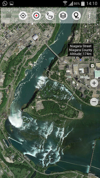
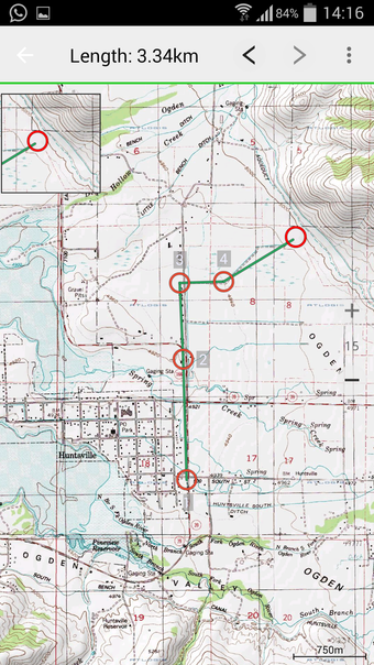
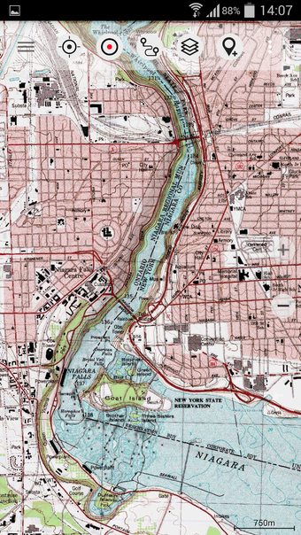
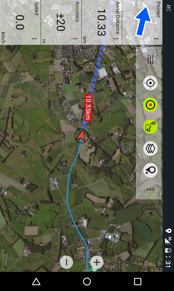
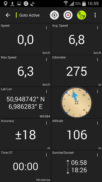
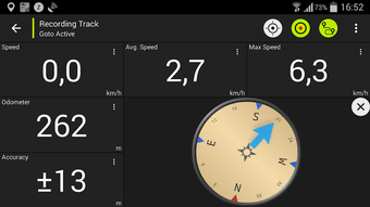
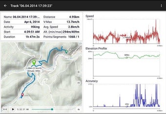
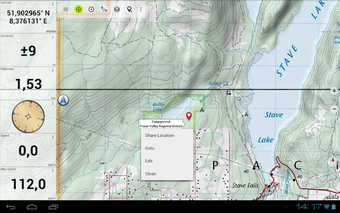
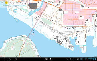
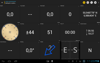
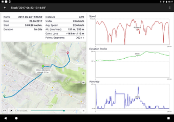
The app provides a user-friendly interface and similar mapping options as you might know from Garmin or Magellan GPS handhelds. It features bulk-download of map tiles for offline usage, creating and editing waypoints, GoTo-Waypoint-Navigation, creating and editing routes, and track recording with speed, elevation, and accuracy profile. The app also includes a tripmaster with fields for odometer, average speed, bearing, elevation, and more. With GPX-Import/Export, KML-Export, search for places, POIs, streets, and customizable data fields in Map View and Tripmaster, the app is a comprehensive navigation tool.